Cartography: The Art and Science of Mapmaking
Cartography is the study and practice of making maps. It involves the creation, analysis, interpretation, and communication of spatial data through the use of maps. Cartography plays an essential role in our daily lives, helping us navigate our way around the world, understand spatial relationships, and make informed decisions.
What are Maps?
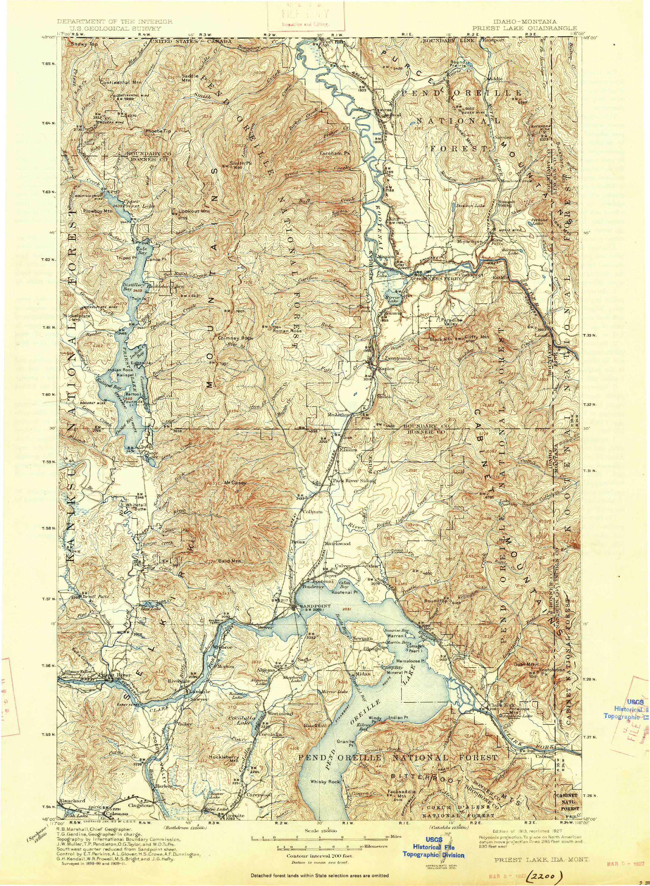
A map is a representation of the earth’s surface or a portion of it, drawn to scale on a flat surface. Maps are used to depict spatial relationships between different features on the earth’s surface, such as roads, rivers, mountains, and cities. Maps can be drawn to different scales, depending on the level of detail required. For example, a world map shows the entire planet on a single sheet of paper, while a street map shows the layout of a city in fine detail.
The Purposes of Maps
Maps serve a wide range of purposes, from helping us find our way around to supporting scientific research. Here are some common uses of maps:
Navigation: Maps are used to help us navigate our way around the world. They show us where we are, where we want to go, and how to get there.
Planning: Maps are used to plan everything from cities and transportation networks to hiking trails and outdoor adventures.
Research: Maps are used in scientific research to help analyze spatial relationships, identify patterns, and make predictions.
Communication: Maps are used to communicate spatial information to others. For example, weather maps show the locations of storms, while political maps show the borders between countries.
How to Use Maps?
Using a map requires a basic understanding of its key components. Here are some essential elements of a map:
Scale: The scale of a map tells you how much the map has been reduced from the real world. For example, a map with a scale of 1:100,000 means that one unit on the map represents 100,000 units in the real world.
Legend: The legend of a map is a key that explains what the different symbols and colors on the map represent.
Grid: A grid is a network of lines that helps you locate points on a map. Latitude and longitude lines are an example of a grid.
Township, Range, Metes and bounds – all worthwhile things to understand.
Navigation
Navigation is the process of determining your location and the direction you need to travel to reach a destination. Navigation has been an essential part of human history, allowing us to explore new lands, trade with distant cultures, and connect with people from all over the world.
Compass
A compass is a tool used for navigation. It consists of a magnetic needle that points to the earth’s magnetic north pole. The compass is an essential tool for navigation, allowing travelers to determine their direction of travel, even in areas where there are no landmarks or other points of reference.
Different Ways to Make Maps
There are several different ways to make maps. Here are some common methods:
Manual Cartography: Manual cartography involves the use of paper and pencil to draw maps by hand. This method is time-consuming and labor-intensive, but it allows cartographers to create maps with a high level of detail.
Computer Cartography: Computer cartography involves the use of specialized software to create maps on a computer. This method is faster and more efficient than manual cartography, but it requires specialized skills and training.
Remote Sensing: Remote sensing involves the use of satellite imagery, aerial photography, and other remote sensing techniques to create maps. This method allows cartographers to create maps of areas that are difficult to access or survey on foot.
Geographic Information Systems (GIS): GIS involves the use of computer software to analyze and interpret spatial data. GIS allows cartographers to create complex maps that have incredible amounts of data. They are computationally intensive and require the right specs for computer operating systems. We’re hoping to dial in GIS tech mastery in the future.
There are many maps that can be made. Conceptual cartography is mapping the future. Let’s do it.